Tel Azekah
Beit Shemesh, IL
- Location
- Beit Shemesh, IL
- Category
- heritage historic sites
- Coordinates
- 31.6991715, 34.9359149
- Best time
- Morning or early afternoon
- Weather tip
- Check the local forecast before visiting.
Overview
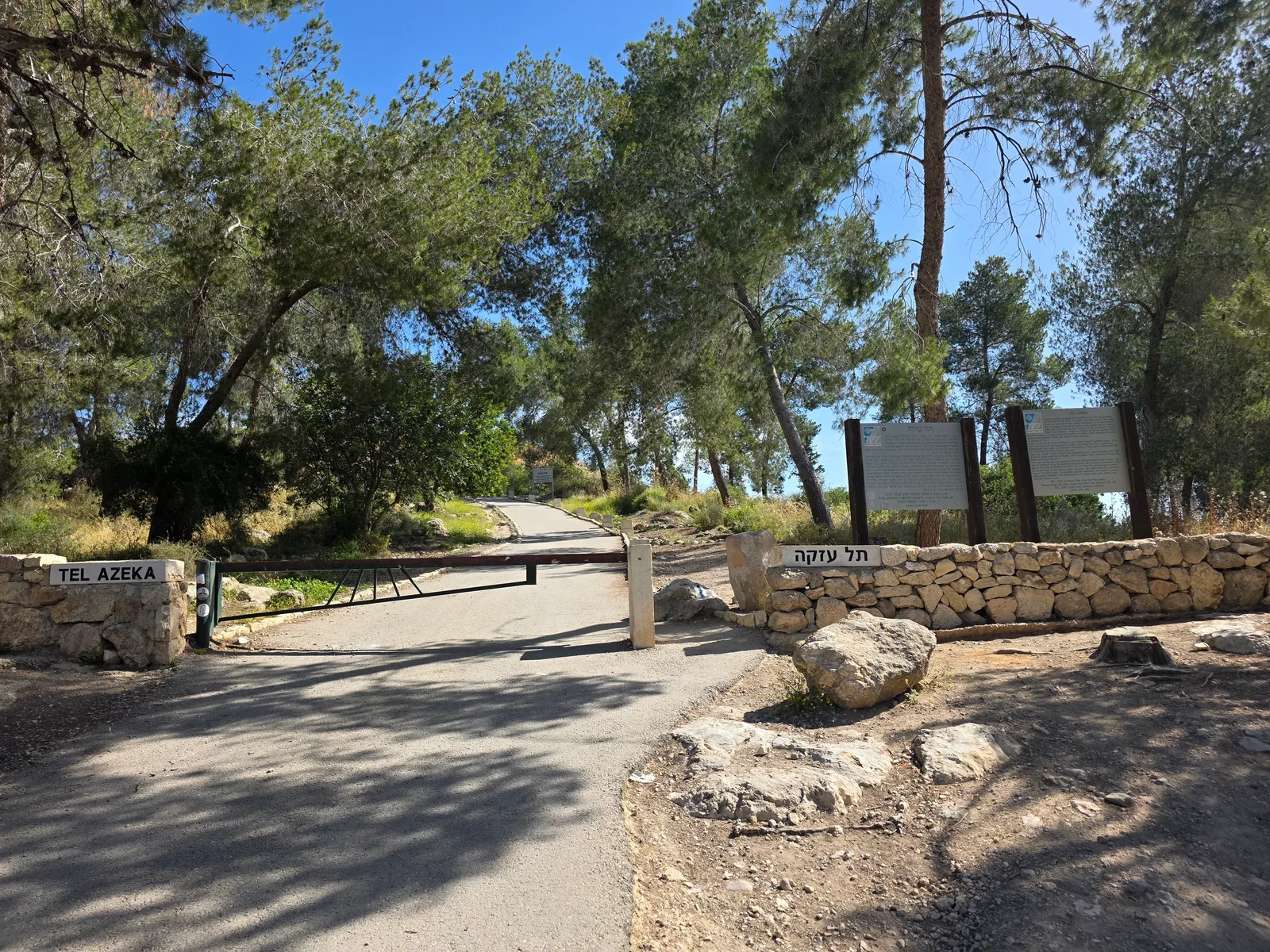
Tel Azekah, located in the Judean Lowlands near Beit Shemesh, is a prominent archaeological mound that offers one of the most breathtaking panoramic views of the Elah Valley. Historically identified as the biblical city of Azekah, this site served as a strategic stronghold during the Iron Age, guarding the ascent from the coastal plain into the Judean hills. Today, visitors flock to this location for its unique blend of historical significance and natural beauty. As you ascend the tel, you are walking through layers of history that date back to the Canaanite and Israelite periods. The summit provides an ideal vantage point for those looking for places to visit in the region, offering a clear view of the landscape where the legendary battle between David and Goliath is traditionally said to have occurred. The site is part of the Britannia Park network, making it a perfect stop for those seeking trip ideas that combine hiking with heritage. Whether you are a history enthusiast or a nature lover, Tel Azekah provides a serene environment to reflect on the ancient past while enjoying the expansive vistas of the surrounding valley. It is recommended to visit during the morning or early afternoon to take full advantage of the lighting for photography and to ensure comfortable hiking conditions.
General information
Tel Azekah, located in the Judean Lowlands near Beit Shemesh, is a prominent archaeological mound that offers one of the most breathtaking panoramic views of the Elah Valley. Historically identified as the biblical city of Azekah, this site served as a strategic stronghold during the Iron Age, guarding the ascent from the coastal plain into the Judean hills. Today, visitors flock to this location for its unique blend of historical significance and natural beauty. As you ascend the tel, you are walking through layers of history that date back to the Canaanite and Israelite periods. The summit provides an ideal vantage point for those looking for places to visit in the region, offering a clear view of the landscape where the legendary battle between David and Goliath is traditionally said to have occurred. The site is part of the Britannia Park network, making it a perfect stop for those seeking trip ideas that combine hiking with heritage. Whether you are a history enthusiast or a nature lover, Tel Azekah provides a serene environment to reflect on the ancient past while enjoying the expansive vistas of the surrounding valley. It is recommended to visit during the morning or early afternoon to take full advantage of the lighting for photography and to ensure comfortable hiking conditions.
Did you know
- Tel Azekah is frequently associated with the biblical narrative of the battle between David and Goliath in the Elah Valley.
- The site served as a fortified city during the Kingdom of Judah, specifically mentioned in the Lachish Letters.
- The summit of the tel offers a 360-degree view, encompassing the Judean Mountains to the east and the coastal plain to the west.
History
Tel Azekah was a significant fortified city during the Iron Age. Archaeological excavations have revealed that the site was occupied as early as the Late Bronze Age. It is mentioned in the Hebrew Bible as a city in the territory of the Tribe of Judah. During the Babylonian conquest of the 6th century BCE, Azekah, along with Lachish, was one of the last remaining fortified cities of Judah, a detail corroborated by the famous Lachish Letters written on pottery shards found at the nearby site of Lachish. The tel contains remains of fortifications and residential structures that highlight its role as a strategic military outpost guarding the vital route leading into the heart of the Judean kingdom.
Cultural significance
The cultural importance of Tel Azekah is deeply rooted in its biblical associations and its role in the national identity of the region. It stands as a physical witness to the geopolitical struggles of the Iron Age. Today, it serves as a site of national heritage, drawing visitors who wish to connect with the historical geography of the Land of Israel. Its inclusion in the Britannia Park landscape preservation project underscores its value as both a protected archaeological site and a recreational space that fosters a deeper appreciation for the ancient history embedded in the modern landscape.
Geography and landscape
Tel Azekah is a prominent mound (tell) rising above the surrounding terrain in the Judean Lowlands (Shephelah). Its geography is defined by its strategic position overlooking the Elah Valley, a major drainage basin that historically served as a gateway between the Mediterranean coast and the central highlands. The topography consists of limestone hills covered with Mediterranean scrub and planted forests, typical of the Britannia Park area. The summit provides a high-altitude observation point, offering clear lines of sight across the valley floor, which is characterized by agricultural fields and rolling hills that remain relatively unchanged since antiquity.
More facts
- Imported from OSM batch
Visitor links
Nearby attractions
- Azekah Jerusalem District - 123 m
- Gat Beit Shemesh - 1751 m
- Khirbet Qeiyafa Beit Shemesh - 2071 m
- Wine press Beit Shemesh - 2418 m
- Akave ruins Shephelah - 3014 m
- Masua lookout Shephelah - 3751 m
- Tel Yarmuth Jerusalem District - 3841 m
- Tel Sokho Beit Shemesh - 4045 m